
The History of GPS Vehicle Navigation
KJXNUNOO
One of my fondest memories growing up was my family going on camping trips. Every year my dad would go to the local convenience store and buy a state highway map, bring it home, and open it up at the dinner table. He would use the markers in his hand to color code the route we took to get to our destination, marking all of our stops for food or roadside attractions, as well as the detours we took if we decided to see something off the beaten path.
That trip down memory lane reminded me of our current lives and started me thinking about when exactly did we give up paper maps in favor of GPS navigation via our cell phones? When did our technology evolve from drawing lines on a map to handheld GPS tracking? Of course, my thoughts started to snowball and I began to wonder if the technology in private vehicles with GPS tracking systems would trickle down to public vehicles like school buses. I decided to do some digging to find out how GPS routing came about and whether school buses use the same GPS tracking software as private vehicles.
First of all, GPS stands for Global Positioning System, formerly known as Navstar GPS. The GPS system is owned by the U.S. government and operated by the U.S. Space Force (USSF), a branch of the Department of the Air Force. It was originally created for government use, but has since expanded to civilian and commercial use worldwide.
The GPS system consists of three (3) components: satellites, ground stations, and receivers. The satellites are used as the source for determining the receiver's position from space because the exact location of the satellites is known at all times, which is the main reason GPS tracking is so accurate. Ground stations ensure that the satellites are located where they should be using radar, and receivers take signals from a group of satellites to measure their distance and pinpoint the receiver's location.
When was GPS routing and tracking created?
Satellite navigation was used long before what we now know as GPS, but its early predecessor had limitations that prompted the U.S. Department of Defense to launch the GPS program in 1973. While navigation equipment has been available in vehicles since the 1930's, the first satellite navigation system was TRANSIT, built by the US Navy, and the GPS system in particular performed well and continues to do so today.
Originally created for use by the U.S. military and government, civilian aircraft were able to use it in the 1980s, thanks in part to President Reagan, although the system was not fully operational until 1995. Later, in 1998, Vice President Al Gore wanted to include two additional signals for non-military use, again focusing on civilian aircraft.
It wasn't until 1999 that GPS manufacturer Benefon finally implemented it into cell phones. While Benefon's secure cell phones were sold primarily in Europe, other cell phone manufacturers quickly jumped on board and spread like wildfire around the world.
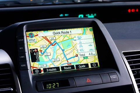
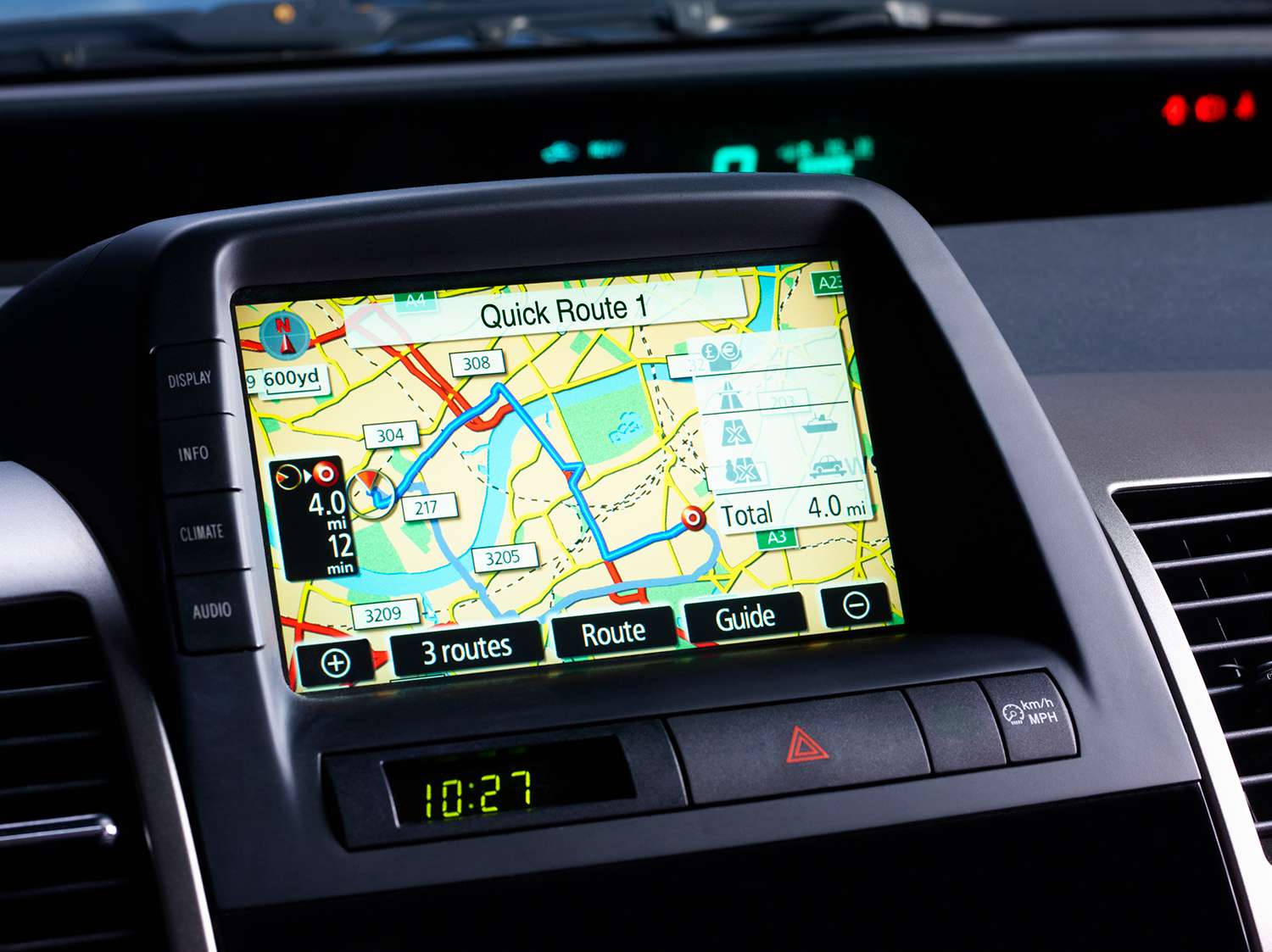
Vehicle GPS navigation was officially started by private companies in 2001 due to evolving technology and shrinking receiver sizes, which in turn led to personal navigation devices in civilian vehicles such as Garvin and TomTom.